Overview of mobile LiDAR use underground
Mobile LiDAR for underground geomechanics
This paper details the background to how mobile mapping technology has been introduced into underground mining geomechanics. The hardware and processing limitations are discussed with reference to case examples from the author’s experience using the technology. Finally, some speculation is offered into the hardware developments and industry adoption over the coming years.
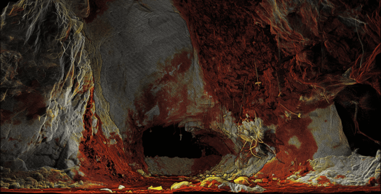
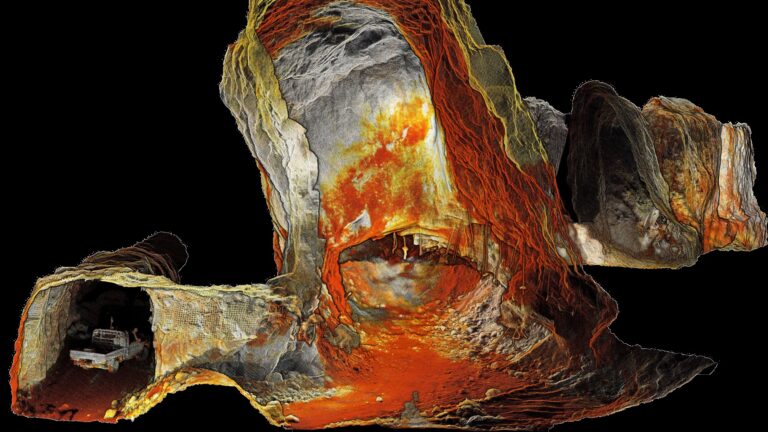
Coloured point cloud of an underground drive